Frankfurt Metro
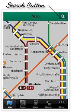
Map with zoom in & out function Use search function to locate any station in the map.
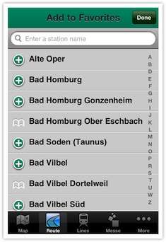
Favorite Stations Add stations which are frequently used to the favorites for quick access. You could also remove them when you don’t need.
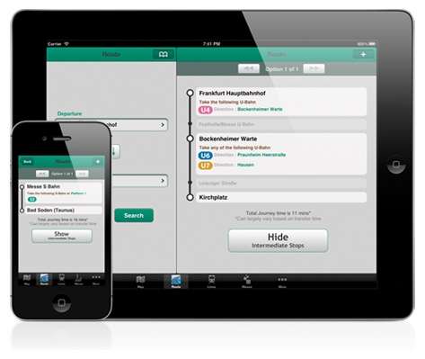
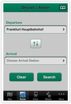
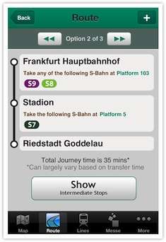
Getting Route for any two stations Choose departure & arrival station then press search to get a detailed route, alternately stations can also be chosen using favorite station button. Departure & arrival station can also be chosen using favorite route button as well.
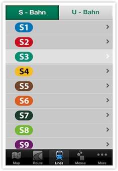
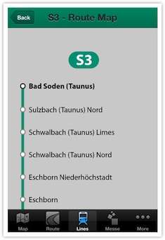
Individual S & U Bahn Route Map Individual maps of S & U bahn trains are available for every route.
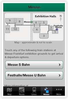
Visiting Frankfurt Trade Fair - Messe Route planner along with exhibition hall map with train stations marked for visiting the trade fair – Messe. Messe has two train stations – S Bahn & U Bahn.
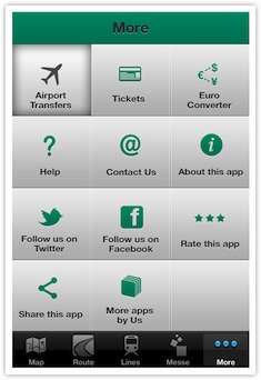
More This tab has information about airport transfers, tickets & passes, Euro converter, etc.
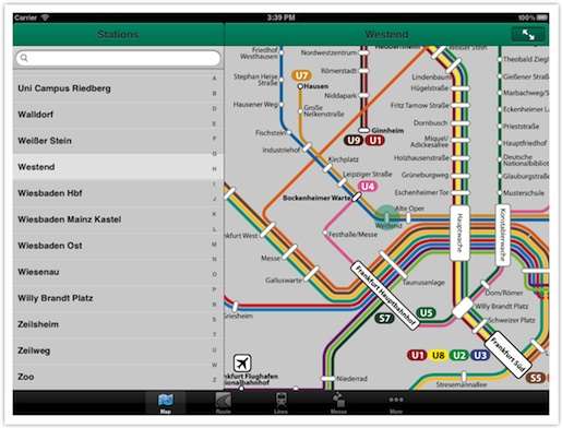
Map with zoom in & out function Use search function to locate any station in the map.
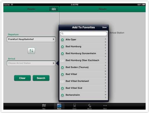
Favorite Stations Add stations which are frequently used to the favorites for quick access. You could also remove them when you don’t need.
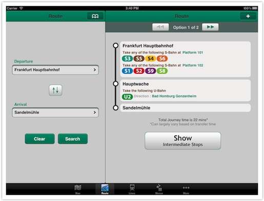
Getting Route for any two stations Choose departure & arrival station then press search to get a detailed route, alternately stations can also be chosen using favorite station button. Departure & arrival station can also be chosen using favorite route button as well.
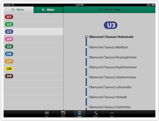
Individual S & U Bahn Route Map Individual maps of S & U bahn trains are available for every route.
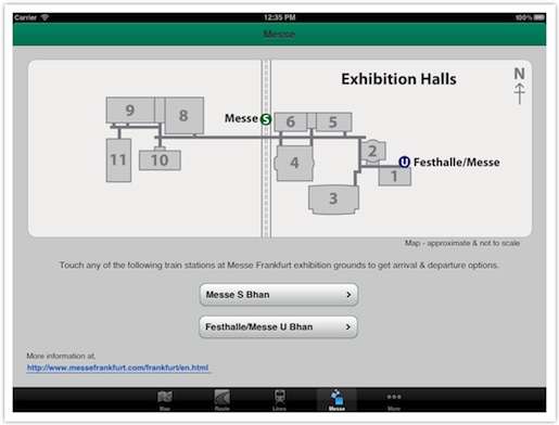
Visiting Frankfurt Trade Fair - Messe Route planner along with exhibition hall map with train stations marked for visiting the trade fair – Messe. Messe has two train stations – S Bahn & U Bahn.
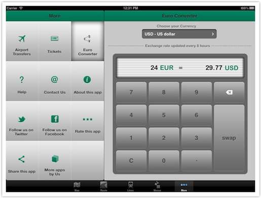
More This tab has information about airport transfers, tickets & passes, Euro converter, etc.